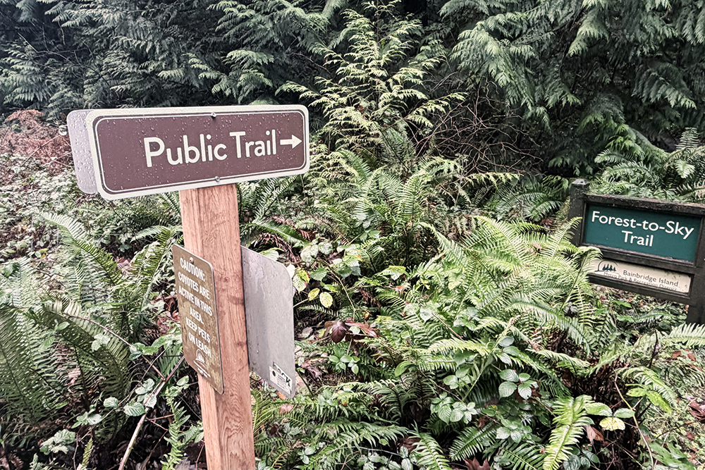
New roadside signs point the way to your next spring hike.
Forty-five "Public Trail" signs now mark spots where trails meet public roadways, with another 60-plus signs soon to go up.
The wayfinding program is a joint effort of the Bainbridge Island Parks & Trails Foundation, City of Bainbridge Island and Bainbridge Island Metro Park & Recreation District.
Funding is by the Parks & Trails Foundation, with sign installation by the City.
With about 50 miles of public trails on Bainbridge Island, a good hike shouldn't be too hard to find no matter where you are.
Geographically, this is true – but the trails vary widely, from short connections within neighborhoods (like Koura-to-Yukio and Alder-to-Dingley) and between neighborhoods (Old Mill Trail, Finch-to-Weaver trail), to additional entries into parks (McRedmond Trail into Grand Forest East, or Gordon Drive into W. Port Madison Nature Preserve), to still longer, purpose-built hiking trails (the Forest-to-Sky and Blakely Hills trails).
Very few island trails have had signs easily visible to passing motorists and bicyclists. Many may not know about the trails they are passing by, especially a narrow path that winds off into the woods.
The new wayfinding signs – consistent in design, and easy to see – will point the way to the many miles of public trails enjoyed by countless residents and visitors alike each year.
More than 170 signs will eventually be placed: most will be "Public Trail" and "hiker icon" signs at trail-meets-road locations, so passing motorists can watch for walkers leaving or entering the trail. Miscellaneous "To Trail" directional signs are also planned, and a third round of signs in 2027.
Look for "Public Trail" signs along – and get out and hike.