Even if you think you’ve hiked them all, you may find a surprise or two on the new Trails On Bainbridge Island map.
Such is the pace of change on the island’s public trail network, now 42 miles and getting longer almost by the month.
And if you’re coming from off island, well … has Bainbridge got some great hikes for you. Pick a trailhead – you can even take a shuttle to get there.
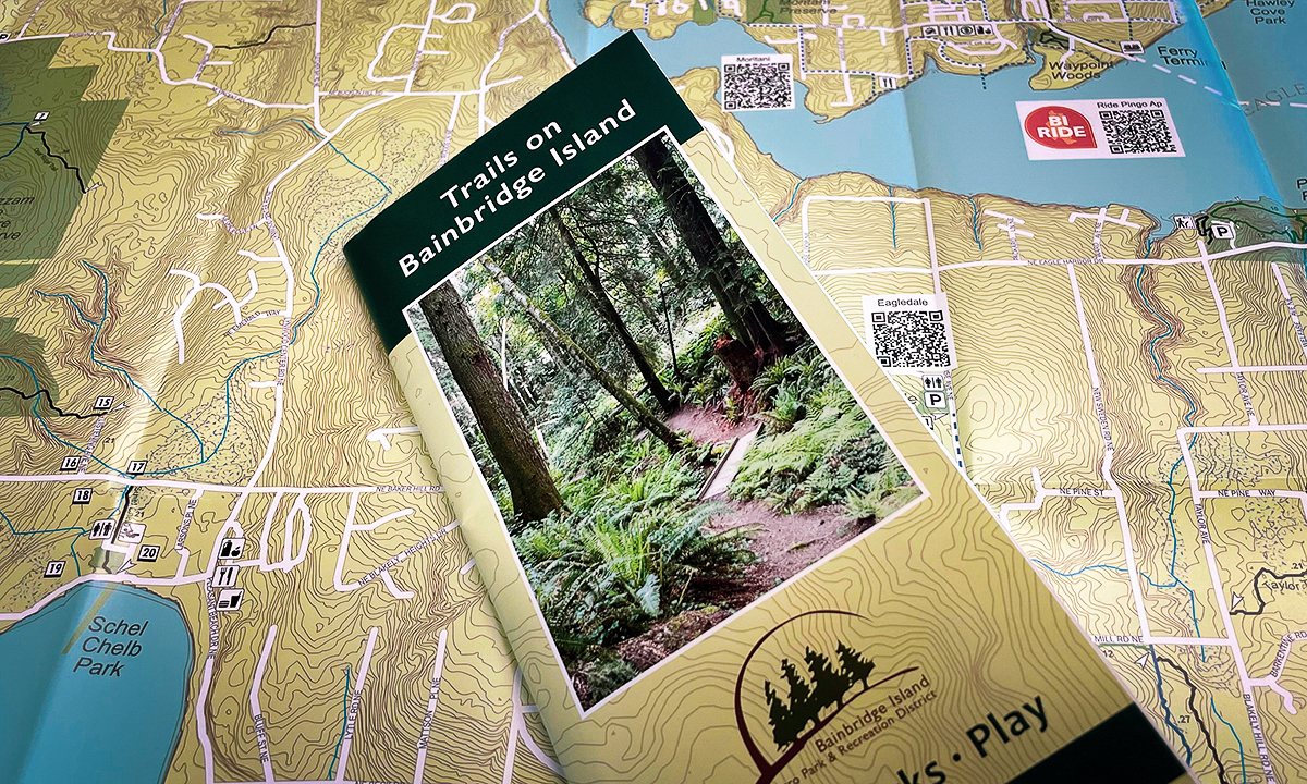
Fully redesigned and updated, Trails On Bainbridge Island is now available at visitor-facing venues around the island. The full-color, large-format map has a range of features to guide islanders and visitors alike.
- Several miles of newly added public trails, including Blakely Hill and the Sakai Park trails, which link in turn to the larger network
- Trails are now color-coded by class (ease of use), with a new designation for “rollable,” or wheelchair-friendly, trails
- New symbols show nearby food, retail and services
- A link to Kitsap Transit’s BI Ride on-demand shuttle program will help visiting ferry walk-ons reach remote trailheads (and get back to the ferry)
- QR codes link to downloadable, printable maps of individual trails
Trails on Bainbridge Island is produced by the Bainbridge Island Metro Park & Recreation District, with support from the Bainbridge Island Parks Foundation. Printing costs were covered by a grant from the City of Bainbridge Island’s Civic Improvement Fund.
“Bainbridge Islanders value community, our environment, and public health and wellbeing, and those values meet on our trails,” says Mary Meier, Parks Foundation executive director. “The Park District does an amazing job building out our trails for all to experience and enjoy, and support through the Parks Foundation helps steward current trails even as we vision and plan new ones.”
Parks Foundation partners with Bainbridge Metro Parks, the City of Bainbridge Island and private funders to extend and enhance the trails network to link parks, neighborhoods and commercial centers.
Several new public trails are in the planning and development stage, and work on the Sound To Olympics Trail Sakai Connector will soon link the STO in Winslow with Sakai Park.
If Bainbridge trails were ever a secret, the secret is out. Reviews on Trip Advisor and other online travel guides suggest a whole “trail tourism” segment developing around the island as a must-go hiking destination.
From Arizona: “The day we visited the Grand Forest, it was raining lightly, which just added to the magic of the forest. There are many paths to hike throughout the forest with lovely sites around every corner. You feel like you’re in the land that time forgot!”
From Texas: “We are from Dallas and wanted to see the tall trees. Enjoyed a good hour of walking in nature in the Grand Forest… If you didn’t hear the traffic noise, you would have thought you were nowhere near civilization.”
From California: “I went to visit Bainbridge Island with a family of nine people ages 5-70. We wanted to walk in the famous Northwest woods that the Seattle area is famous for. We were not disappointed. The Grand Forest park had beautiful, well marked paths that wandered through moss covered trees.”
Pick up a copy of the Trails On Bainbridge Island map and discover our island trails for yourself.
The newly revised and updated Trails On Bainbridge Island map is now available at the Bainbridge Island Chamber of Commerce Visitor Center, Bainbridge Island City Hall, Bainbridge Island Recreation Center, Bainbridge Island Aquatic Center, Bainbridge Island Library, and the Parks Foundation office in the Marge Williams Center.